Last weekend I took a walk through the Harvey Nature Reserve on Linksfield Ridge. Walking on this ridge is an interesting reminder of Joburg’s crazy geological history.
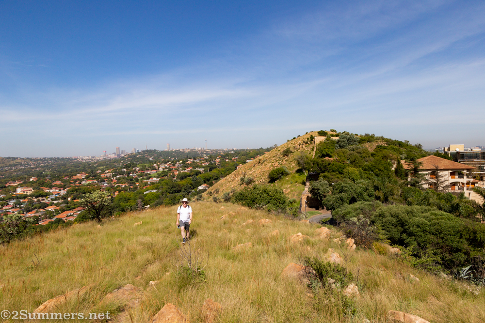
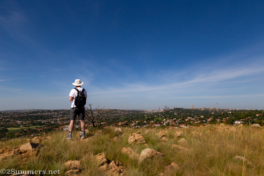
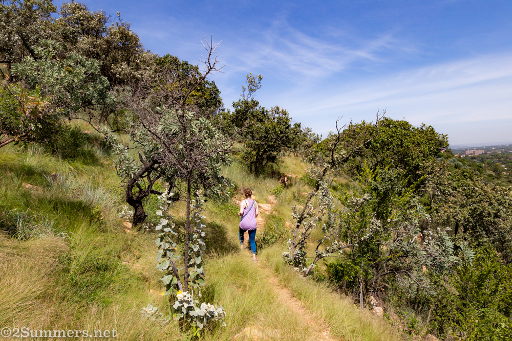
Thorsten heading east on Linksfield Ridge.
I am obviously not a geologist. But here is my simplistic attempt to explain Joburg’s geology:
Joburg sits on a huge ridge, the Witwatersrand (or “Rand” for short) – a snaking spine about 1800 meters (5900 feet) above sea level, which runs for 56 kilometers (35 miles) from east to west. To see what the Rand looks like from above, check out this fun topographical map.
The earth inside the Witwatersrand was once full of gold, which is why Joburg was built in the first place. It’s a fascinating and scary reason for a city to exist, when you think about it. Humans spent more than a century digging all of the gold out of the ridge, and now the gold has mostly been removed but the ridge is still here and so are the people.
(Given all the messing around beneath the Witwatersrand over the past 130-plus years, I often wonder why the earth hasn’t collapsed and swallowed Joburg up completely. Maybe an actual geologist will chime in and explain this.)
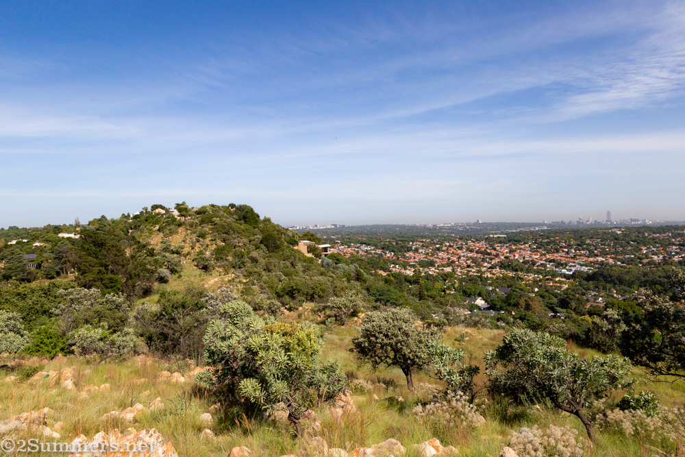
There are a bunch of smaller ridges poking out on top of the Witwatersrand. Linksfield Ridge, which runs east-to-west between the suburbs of Bedfordview and Orange Grove, is one of those.
Walking Linksfield Ridge
The Harvey Nature Reserve is on the west side of Linksfield Ridge; the entrance to the reserve is at the end of Kallenbach Drive. Kallenbach Drive was built by the prominent Joburg architect Hermann Kallenbach, who once owned all of Linksfield Ridge and was a close friend of Mahatma Gandhi’s. But I digress – I’ll have to write more about Kallenbach in a future post.
Unfortunately the gate into Harvey Nature Reserve is locked for safety reasons, and can only be accessed by those with a key (a typical Joburgian quirk). I happen to know someone who has a key, which is how Thorsten and I got to walk on Linksfield Ridge last Sunday.
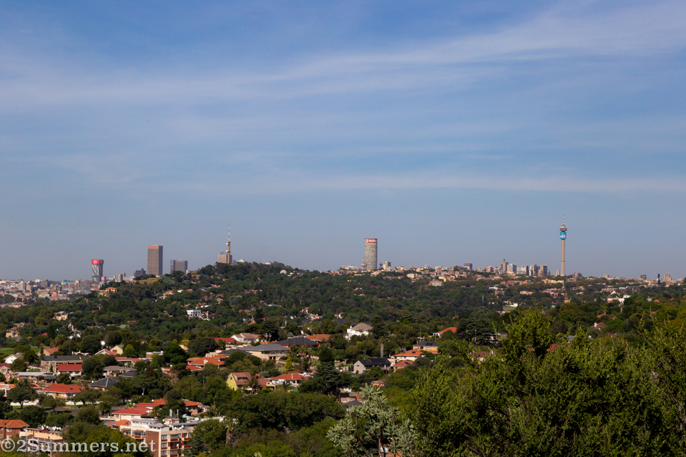
Joburg has many ridges, as I said. But Linksfield Ridge is particularly interesting because it runs perfectly east-west and is right in the middle of town, serving as an unofficial dividing line between central Joburg and the East Rand. As we walked along Linksfield Ridge, it felt like we were bisecting the city, with the downtown skyline on one side and the Sandton skyline on the other.
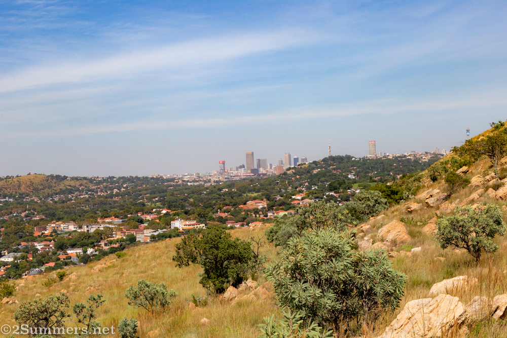
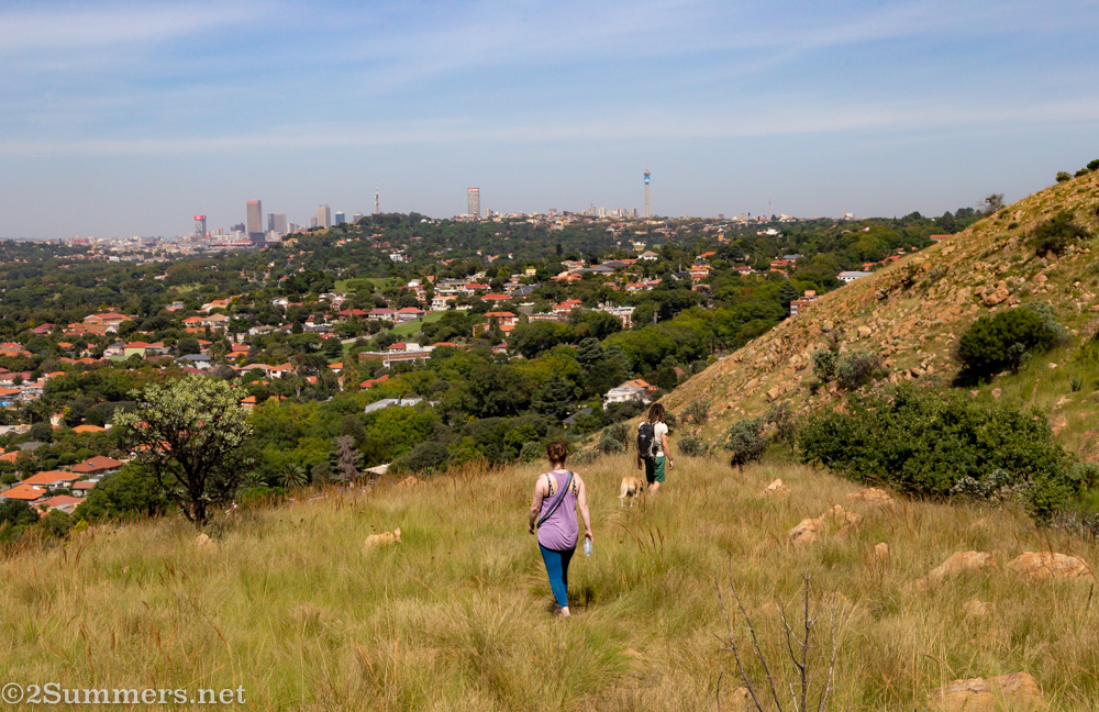
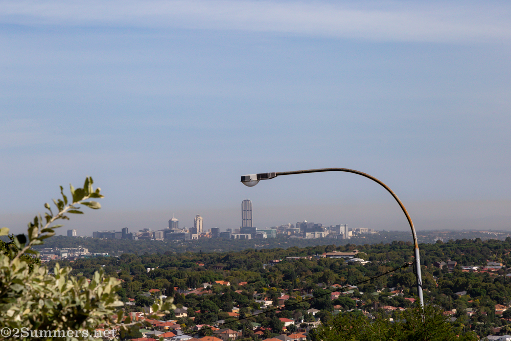
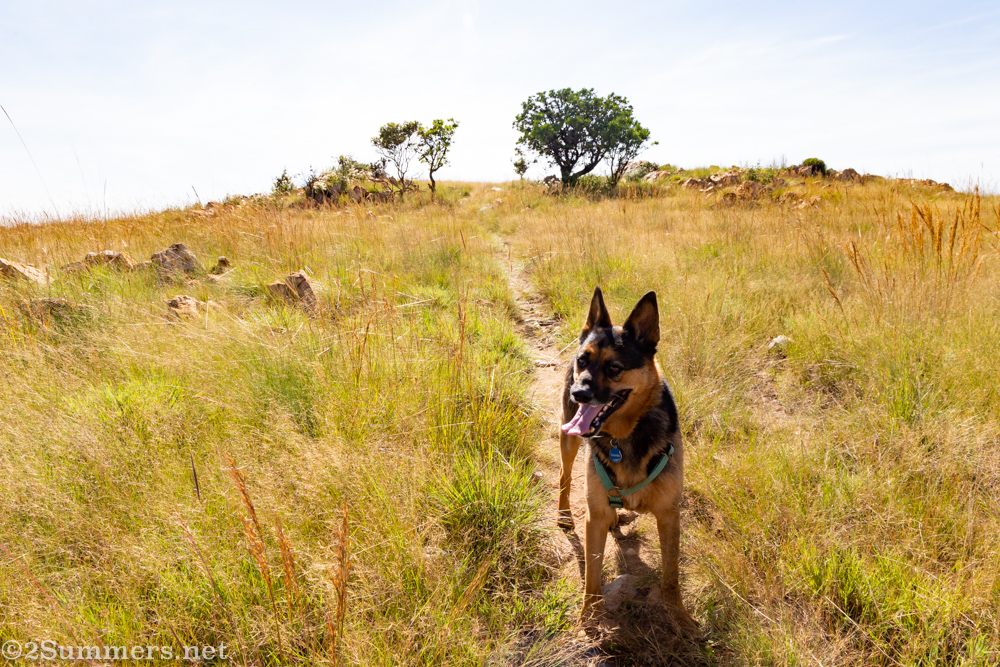
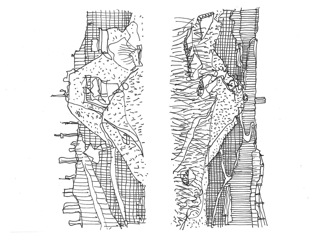
Linksfield Ridge with a view to the north. The Sandton skyline appears in the distance on the right.The downtown skyline appears on the left side of the ridge.Linksfield Ridge is the only place I know of in Joburg where you can see all of the city’s most prominent skyscrapers and towers at once: The Carlton Centre, Ponte City, the Hillbrow Tower, and – if you look really closely – the Sentech Tower.As I’ve said before, I love how the Joburg skyline always looks different depending on which ridge you’re looking at it from.Closeup of the Sandton skyline. For some reason I liked the way it looked with this light pole hovering over it.Tecla and Charles’ dog, Gremlin, King of Linksfield Ridge.Thorsten making a sketch.Thorsten’s sketch – an interesting depiction of the Linksfield bisection. You can check out more of his sketches at @thethinking_hand.
We walked along the ridge for a little more than two kilometers, then turned around and walked a similar route back. Apparently there is public (unlocked) access to the ridge from the far east end, near Gillooly’s Farm. But the walk is much longer and less pretty from that side.
I look forward to bisecting Joburg again in the near future.
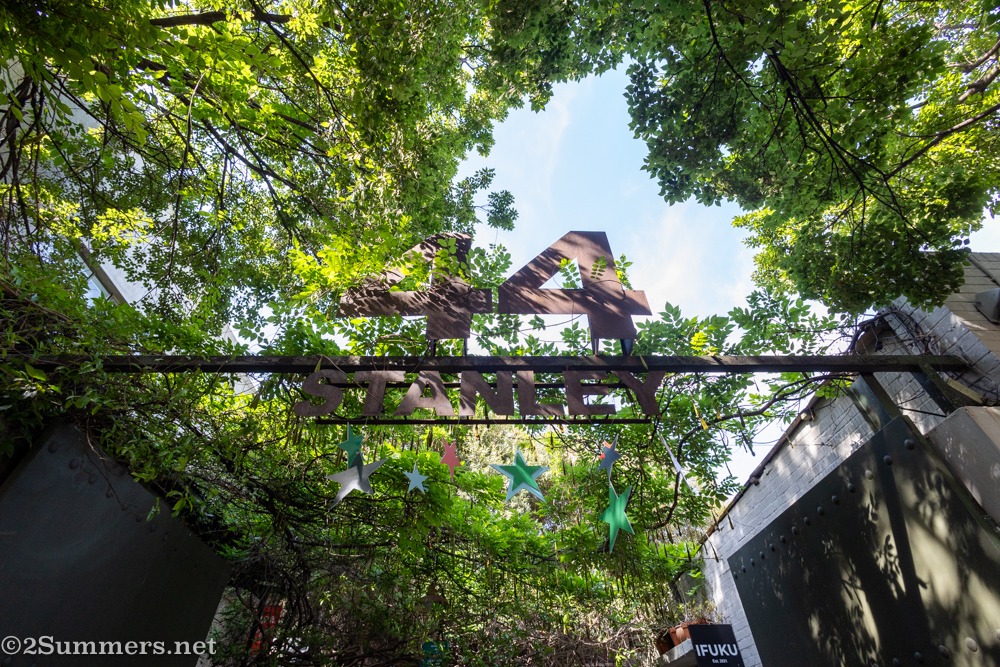
I guess it’s wrong to say I’ve never blogged about 44 Stanley; I’ve mentioned it countless times over the years (see here and here) when writing about specific restaurants or shops that are there. But I’ve never written a dedicated post about 44 Stanley as a destination and it’s about time I did – especially now, with the holidays upon us.
Use the share button below if you liked it.
It makes me smile, when I see it.